From Texas Standard:
As GPS is used more and more to help us get where we’re going, a new exhibit at Sul Ross State University’s Museum of the Big Bend in Alpine is making a case for why maps still matter.
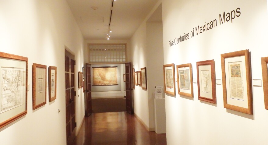
Its new exhibit of 64 maps of Mexico – "Five Centuries of Mexican Maps" – is one of the largest exhibits ever of its kind, says Matt Walter, curator of collections at the museum. The maps show how the cartography of Mexico evolved over five centuries, with the oldest map in the collection from 1493.
“It’s going to allow [visitors] to see the progressions of the mapping of Mexico, through the periods of discovery, exploration, settlement, wars, changing boundaries, all the way up to modern day,” Walter says.
The collection features maps that served a variety of purposes.
"You’re going to see topographical, you’re going to see maritime, you’re going to see military,” Walter says. “You’ll also see one of the reasons maps are used often is for real estate, and so you’ll see land deals on the maps and things like that.”
Maps from one of Mexico’s most famous cartographers, Antonio García Cubas, are on display. Walter says García Cubas, who lived from 1832 to 1912, essentially mapped Mexico’s national identity as the country faced land losses to the U.S., and the French invasion during the American Civil War.
“His focus was on trying to show the Mexico people what their country looked like, what riches and wealth it had and ultimately make them proud of their country,” Walter says.
There’s also maps of Texas – from its time as a Spanish colony, to its incorporation into Mexico, to its independent nationhood and finally to its annexation by the United States.
The collection of Mexican maps will be on display through Dec. 15.
Written by Savana Dunning.

